European Soil Screening Criteria: What the EU Soil Monitoring Law Changes

Understand Europe’s soil screening criteria, the EU Soil Monitoring Law, PFAS monitoring, and EEA thresholds, with key dates and practical guidance.
Data Management Support
Data Management Support

Understand Europe’s soil screening criteria, the EU Soil Monitoring Law, PFAS monitoring, and EEA thresholds, with key dates and practical guidance.

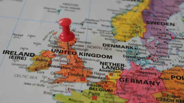
Get the latest UK soil screening criteria, including GAC, S4ULs, C4SLs and SGVs. Check update dates, key changes and practical guidance.
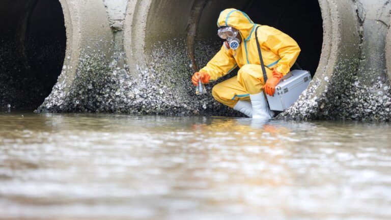
Stormwater data management connects laboratory results with the information needed to interpret them: sampling locations, collection times, analytical methods, reporting limits, quality-control results and review decisions. A useful system preserves these relationships as data move from laboratory delivery through review,…
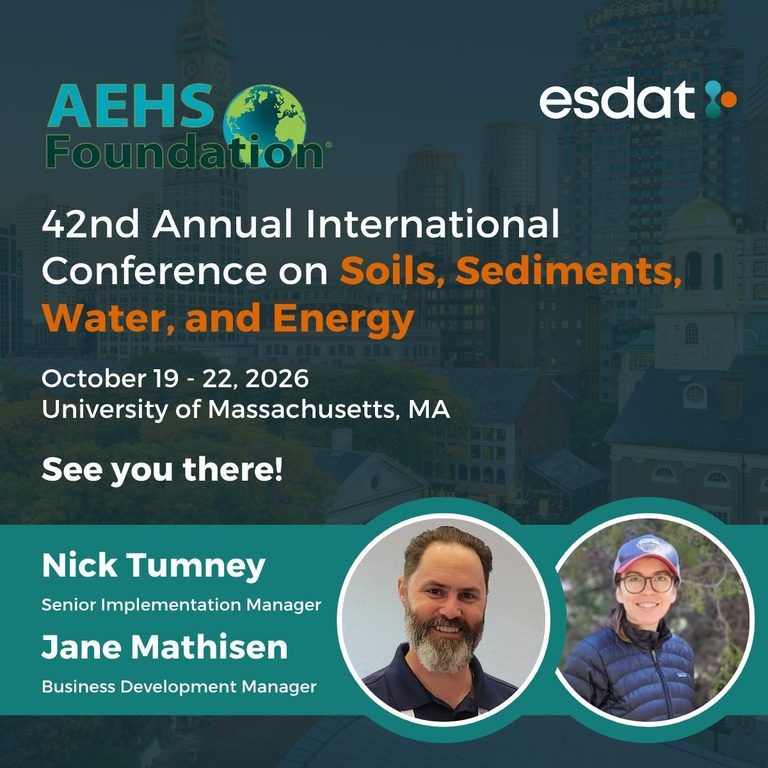
The 42nd Annual International Conference on Soils, Sediments, Water, and Energy runs October 19–22, 2026, at the University of Massachusetts Amherst. Hosted by the AEHS Foundation, the event brings together environmental professionals to exchange research and explore practical approaches to…

The latest EU-wide update to surface water Environmental Quality Standards (EQS) entered into force on 11 May 2026. It expands the pollutants covered and revises existing standards, with implementation deadlines extending beyond 2026.

Environmental professionals will gather at the Fairmont Banff Springs in Banff, Alberta, from October 14–16 for the RemTech Symposium 2026, an industry event focused on technologies and approaches for cleaning up contaminated soil and groundwater. Organised by the Environmental Services…
Checked on 8 October 2026 The core UK landfill Waste Acceptance Criteria (WAC) limits remain those established under Council Decision 2003 No later revision to the standard leaching limits below was identified in the official sources reviewed. Current Environment Agency…

Managing environmental data across a complex portfolio shouldn’t require a dedicated IT department. With ESdat, it doesn’t. For executives overseeing environmental programs, whether across a small team or a global enterprise, the real cost isn’t the data itself. It’s the…
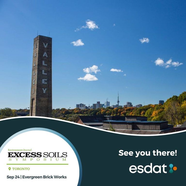
Explore Excess Soils Symposium Toronto 2026 on September 24 at Evergreen Brick Works, with regulatory insights, industry networking and the ESdat team.
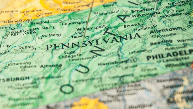
Explore Pennsylvania Chapter 93 water quality standards, including current chemical criteria, July 2026 stream updates, and practical compliance considerations.
Latest chapter amendment: Effective July 11, 2026, updating stream designations and correcting drainage lists.
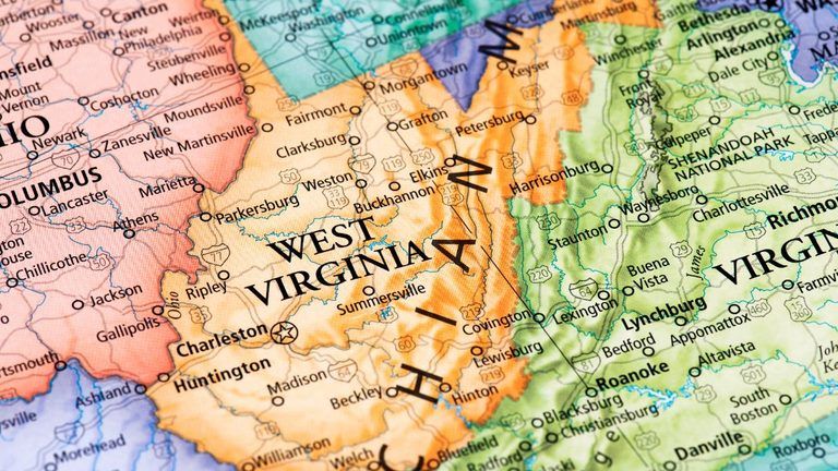
West Virginia’s latest Voluntary Remediation and Redevelopment De Minimis Standards took effect on April 8, 2026.
De minimis standards identify contaminant concentrations considered to pose no substantial human-health risk under the relevant residential or industrial use assumptions.
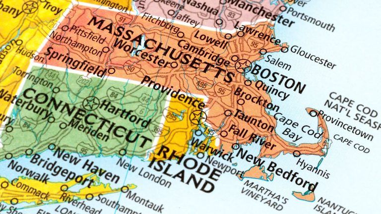
Explore current MassDEP vapor intrusion guidance, indoor air screening levels, TCE updates, and key considerations for environmental professionals.

Environmental professionals will gather at the Adelaide Convention Centre from 13–17 September 2026 for CleanUp Conference 2026 and the 5th International PFAS Symposium, bringing together expertise in contaminated site assessment, management and remediation. Celebrating its 30th anniversary and 11th conference,…

Water in Mining Australia comes to Perth on 8–9 September 2026. Explore key topics, event details, and where to meet the ESdat team.
The conference will unite mining companies, regulators, researchers, community representatives, and technology providers to explore more responsible and resilient approaches to water management.

Ohio’s current underground storage tank standards are found in Chapter 1301:7-9 of the Ohio Administrative Code. For environmental investigations, the most important numerical criteria are the closure action levels in Rule 1301:7-9-12, the risk-based corrective-action levels in Rule 1301:7-9-13, and…

Learn how environmental data dashboards improve monitoring, compliance, and decision-making, and explore the advantages of ESdat dashboard functionality.
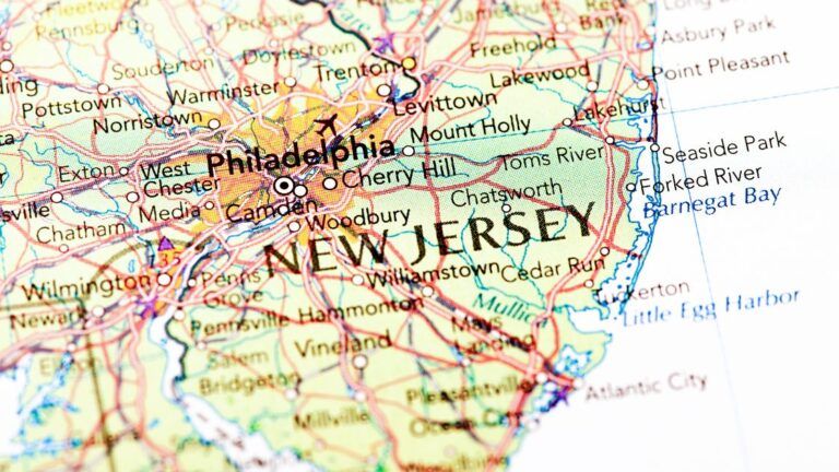
Review the latest NJDEP remediation standards, including 2026 PFAS soil, soil-leachate and groundwater levels under N.J.A.C. 7:26D.
The latest amendments affecting the New Jersey Administrative Code Remediation Standards at N.J.A.C. 7:26D were adopted on June 15, 2026.
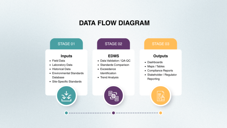
Compare ESdat, EQuIS, GAEA EDMS, Locus EIM and DataSight for laboratory data, field programs, compliance, reporting and enterprise use.
This evidence-based review compares five commonly considered platforms and explains which is best suited to different environmental programs.

Government environmental programs generate large volumes of laboratory, field, spatial and historical information. The central challenge is not simply collecting it, but maintaining a reliable record that can support decisions, audits and public communication for years or decades.
A single groundwater, contaminated-land or infrastructure program may involve government officers, laboratories, consultants, field contractors, asset managers, GIS specialists and independent auditors. Each participant can produce information in a different format, under different naming conventions and at different intervals.

New functionality transforms raw sensor readings into corrected groundwater elevations within one structured, auditable system
ESdat’s latest video highlights its groundwater logger data functionality—a purpose-built workflow designed to simplify the journey from raw pressure readings to reliable groundwater elevations.