Geotechnical data management software helps teams keep this data organised, accurate, and easy to use throughout a project.
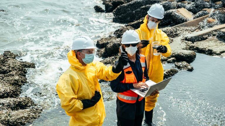
Geotechnical projects rely on good data. Borehole logs, lab results, groundwater levels, and site notes all influence design decisions, cost, and risk.
Table of Contents
- What geotechnical data management software is
- Why geotechnical data is difficult to manage
- How geotechnical data management software helps
- What problems does it solves for projects
- What to look for in a system
- How ESdat can be used for geotechnical data management
- Key takeaways
- Glossary
What geotechnical data management software is
Geotechnical data management software is a system used to store, organise, check, and report geotechnical data from site investigations.
Instead of relying on spreadsheets, shared drives, and emails, the software provides a single, structured location for all geotechnical information related to a project.
Its main purpose is not engineering design.
Its purpose is to ensure that the data used to make decisions is complete, consistent, and traceable.
Why geotechnical data is difficult to manage
Geotechnical data is complex because it:
- Comes from many sources (drillers, labs, field teams)
- Changes as investigations progress
- It is linked to depth, location, and time
- Is reused across reports, designs, and approvals
When this data is managed manually, common problems appear:
- Multiple versions of the same borehole log
- Missing or unclear assumptions
- Copy-and-paste errors
- Late data corrections that affect schedules
These issues increase project risk, rework, and cost.
How geotechnical data management software helps
A dedicated system brings structure and control to geotechnical data.
Centralised storage
All project data is stored in one place, not scattered across folders and emails.
Structured organisation
Data is linked by:
- Project
- Site and location
- Borehole or test ID
- Depth and date
This makes the data easier to understand and reuse.
Data quality checks
Built-in rules can flag:
- Missing values
- Incorrect units
- Unusual or out-of-range results
Issues are identified early, before they affect reporting or design.
Faster reporting
Teams can generate:
- Tables and charts
- Summary outputs
- Client and regulator-ready exports
All from the same approved dataset.
What problems it solves for projects
From a client and project management perspective, the benefits are clear.
Reduced technical risk
Decisions are based on validated data, not assumptions or outdated files.
Fewer delays
Errors are found early, reducing late changes and rework.
Better transparency
Teams, reviewers, and clients can see where data came from and how it was used.
Improved collaboration
Everyone works from the same source of truth, even across organisations.
What to look for in a system
When evaluating geotechnical data management software, look for:
- Structured handling of borehole and location data
- Simple imports from field and laboratory formats
- Data validation and review workflows
- Clear audit trails and version history
- Easy exports for reporting and analysis
- User access controls
A good system should reduce complexity, not add to it.
How ESdat can be used for geotechnical data management
ESdat is widely used for environmental and monitoring data and can also support geotechnical and geo-environmental data management, particularly where projects involve groundwater, soil, and compliance reporting.
In geotechnical contexts, ESdat can be used to:
- Store borehole, stratigraphy, and groundwater data in a structured system
- Manage time-series groundwater levels from standpipes and piezometers
- Apply data validation rules to identify issues early
- Combine geotechnical and environmental datasets in one platform
- Produce clear tables, charts, and exports for reports and downstream tools
- Maintain audit trails that support QA and regulatory review
For projects that sit at the overlap of geotechnical investigation and environmental assessment, ESdat works well as a central data platform, with detailed engineering analysis handled in specialist tools where required.
Key takeaways
- Geotechnical data management software keeps subsurface data accurate, structured, and traceable
- It reduces project risk by improving data quality and consistency
- It supports smoother delivery, fewer delays, and better decisions
- It focuses on data control, not engineering calculations
- ESdat can play a strong role where geotechnical and environmental data overlap
Glossary
Audit trail
A record showing who changed data, when it was changed, and why.
Borehole log
A structured record of soil and rock layers encountered during drilling.
Data validation
Checks are used to confirm that the data is complete, consistent, and realistic.
Geotechnical data
Information about soil, rock, and groundwater is used to understand ground conditions.
Single source of truth
One trusted system for storing and using approved project data.
Frequently Asked Questions (FAQ)
What is geotechnical data management software used for?
Geotechnical data management software is used to store, organise, check, and report geotechnical data from site investigations. It helps teams manage borehole logs, lab results, groundwater data, and related information in one trusted system.
Its main purpose is to improve data quality and reduce project risk, not to replace engineering analysis tools.
Is geotechnical data management software only for large projects?
No. While large infrastructure and mining projects benefit greatly, smaller projects also gain value. Even a few boreholes and lab results can become hard to manage if data is spread across emails and spreadsheets.
Using a system early helps avoid rework, errors, and confusion later.
How is this different from geotechnical analysis software?
They serve different roles:
- Geotechnical data management software focuses on data storage, validation, traceability, and reporting.
- Geotechnical analysis software focuses on calculations and modelling, including settlement, slope stability, and foundation design.
Many teams use both, with clean, validated data flowing from the data system into analysis tools.
Can it handle borehole and groundwater data?
Yes. Most geotechnical data management systems support:
- Borehole and stratigraphy data
- Sample depths and descriptions
- Groundwater strikes and monitoring levels
- Time-series data from standpipes and piezometers
The key benefit is keeping this information linked by location, depth, and date.
Does it replace spreadsheets completely?
Not always. Spreadsheets are still useful for ad-hoc work.
However, geotechnical data management software reduces reliance on spreadsheets for core project data by providing better structure, validation, and version control.
This lowers the risk of copying errors and outdated files.
How does it reduce project risk?
It reduces risk by:
- Catching errors early through data checks
- Keeping a clear audit trail of changes
- Ensuring teams work from the same approved data
- Reducing late surprises during design or review
Better data control leads to better decisions.
Who typically uses geotechnical data management software?
It is commonly used by:
- Geotechnical and civil engineering consultants
- Project managers and technical leads
- Mining and infrastructure teams
- Environmental and geo-environmental specialists
- Organisations managing multiple investigations or sites
Can ESdat be used for geotechnical data management?
Yes. ESdat is widely used for environmental and monitoring data and can also support geotechnical and geo-environmental data management, particularly where projects involve groundwater, soil, and compliance reporting.
It works well as a central data platform, with specialist geotechnical analysis handled in other tools where required.
Related Articles to geotechnical data management
Geotechnical Borehole Logging and Software
Why Switch from EarthSoft EQuIS Platform? Exploring Software to Replace EQuIS for Environmental Data Management
Video: What is a bore log?
What data types are used in environmental data management?