Geotechnical Borehole Logging
Geotechnical borehole logging involves the use of boreholes to perform investigations on materials from deep underground for geotechnical designs. The approach is applied for obtaining information on ground movements, groundwater levels, material strengths, permeability, and pore pressures. Geotechnical borehole logging is a cost-effective and time-saving technique. Additionally, geotechnical borehole logical procedure has minimal impact on the environment. Geotechnical borehole logging investigations requires thorough planning to meet the requirements of the desired purpose. The planning process involves a review of reports and maps, creation of a geotechnical model concept and environmental impact consultations.
A geotechnical model is developed once information is obtained. The nature of data collected from geotechnical borehole logging is dependent on the purpose of conducting the procedure for the project involved. The logging process requires the use of a consistent or standardized approach. This approach outlines how materials are described, design of the logs, information types to be collected, applied symbols and terms, and observed standards.
During the logging of soil samples, elements considered include classification, naming and description of soils. Descriptions for rocks include rock types and weathering properties. Drilling data collected are run lengths, drill bit types, drilling methods, sample types and intervals, and core-loss and core recovery. Materials and equipment used include geologist hammers, hand lens, compasses, knives, spatula, plastic sieves, markers, field logging forms, plastic bags, among others. The sample of materials collected needs to be collected and stored appropriately to allow for conclusive results from the analysis. The logging forms need to be filled while in the field. The laboratory investigation and analysis is then conducted afterword and relevant conclusions derived from the results.
Geotechnical Borehole Logging Software
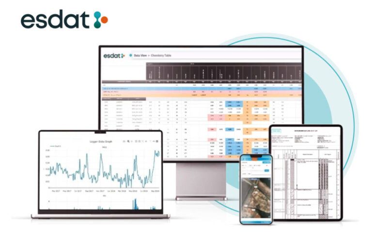
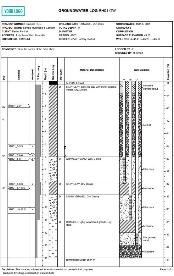
Geotechnical borehole logging software is used to write and compile borehole logs for geological and geotechnical purposes. For reporting boring and well log data EScIS provide a free solution called ESlog. Data can be typed directly into ESlog or exported from ESdat Environmental Database Software. A complete electronic field data collection to report solution is available comprising PLog for electronic borehole data collection in the field, which synch`s the data back to ESdat for the population of ESlog. This means Project Managers can be reviewing logs while staff are still on site. For more information visit https://esdat.net/bore-logging/
Reference
The State of Queensland Department of Transport and Main Roads (2019). Geotechnical Logging. Available from https://www.tmr.qld.gov.au/-/media/busind/techstdpubs/Geotechnical/Geotech-Borehole-Logging/guideline-geotechnical.pdf