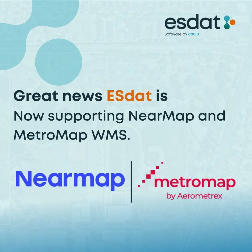
EScIS is thrilled to announce that ESdat integrates seamlessly with Nearmap and MetroMap WMS, offering enhanced capabilities for high-resolution aerial imagery and advanced environmental mapping solutions. This cutting-edge integration brings a new dimension to environmental data management, equipping professionals with accurate, up-to-date geospatial data to improve decision-making and streamline project planning. https://esdat.net/esdat-features/
With this integration, ESdat users can unlock powerful mapping functionalities to visualize and analyze environmental data more effectively:
• Inbuilt Satellite Imagery & Custom Basemaps: ESdat allows you to display data points and labels directly on inbuilt satellite imagery or overlay your own basemaps for tailored visualizations.
• Map-Based Querying & Exceedance Tables: Quickly query environmental data through map-based tools and generate exceedance tables to identify regulatory or project-specific thresholds.
• Enhanced Data Visualization: Easily display data points and chemistry exceedance tables within the map view, enhancing clarity and understanding of complex datasets.
• Export Data to GIS Tools: Locations can be exported effortlessly to other GIS software like ArcGIS, MapInfo, and QGIS for advanced geospatial analysis.
• Add WMS/WFS Layers: Integrate additional layers such as WMS (Web Mapping Service), WFS (Web Feature Service), or your custom base maps to create comprehensive, project-specific maps.
These enhanced mapping capabilities make it easier than ever for environmental professionals to visualize data trends, analyze exceedances, and make informed decisions backed by accurate spatial information.
Check out our tutorial video here for a step-by-step guide on using maps in ESdat. https://youtu.be/CTlAT7IvLFM?si=Lic173mfzYrmosHb
About ESdat
ESdat is an intuitive and user-friendly software designed to help scientists and engineers efficiently manage environmental and earth science data. From laboratories, field programs, and data loggers to historical sources and regulatory standards, ESdat simplifies data management and reporting, empowering professionals to focus on insights and outcomes.
About MetroMap
MetroMap, powered by Aerometrex, provides high-quality, accurate aerial imagery designed to meet the needs of sophisticated geospatial data users. With flexible subscription plans and easy accessibility via web apps or GIS platforms, MetroMap imagery supports a wide range of industries and offers reliable geospatial data for diverse applications.
About Nearmap
Since 2007, Nearmap has been a leader in high-resolution imagery, 3D modelling, AI predictions, and geospatial tools. Covering urban areas across the United States, Canada, Australia, and New Zealand, Nearmap empowers businesses to visualize their potential with cutting-edge location intelligence. By providing detailed, up-to-date imagery, Nearmap helps organizations see more, know more, and do more every single day.
This new integration with Nearmap and MetroMap WMS reaffirms ESdat’s commitment to delivering innovative solutions for environmental data management, making it easier than ever to bring geospatial intelligence into environmental decision-making.
Ready to explore the possibilities? Dive into the enhanced ESdat mapping capabilities today!
Related Articles to Advanced Environmental Mapping Solutions
Insights and Hidden Impacts: US Environmental Standards and Guidelines
From Data to Decisions: Mann-Kendall Analysis Made Easy with ESdat