The Problem – Data Management Challenges
Large-scale contaminated soil investigations generate hundreds, often thousands, of samples. Soil samples are collected from multiple locations, at varying depths, over many days, and by different people. Each sample is then tested for a suite of parameters and compared to regulatory guidelines to determine whether it is contaminated. This generates a considerable amount of data, which needs to be interpreted quickly and managed securely so that the findings can be validated in the future.
Gwaii Engineering is an indigenous-owned and operated civil and environmental engineering consulting firm in Canada committed to building strong relationships with First Nation clients. Its services include environmental investigations, environmental management plans, environmental monitoring, and soil remediation.
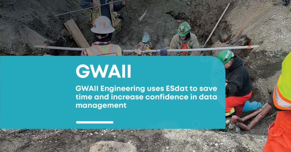
One such undertaking was the McLoughlin Point remediation project in Victoria, BC. For approximately 100 years, McLoughlin Point was the site of a bulk fuel /oil storage and transfer station. In 2017, construction for the new CRD Waste Water Treatment Plant began at the site, and soil contamination was identified during preliminary site excavations. Gwaii staff performed investigations and guided remediation to obtain a Certificate of Compliance for the site ahead of the commissioning of the plant.
Previously, GWAII used dedicated borehole logging software to create borehole logs (a record of each test pit/borehole, including data about soil types, strata depths, samples collected, and other observations).
However, this software was not user-friendly:
- It didn’t allow templates to be saved.
- Only one user could log in at a time.
- It would often crash without saving progress.
- Filling out the information was a time-consuming and frustrating process.
Soil samples are collected from every borehole or test pit. These are sent in batches to an analytical laboratory and analyzed for suites of parameters. It doesn’t take long before you’ve generated tens of thousands of data points, which keep growing throughout the project.
Laboratory results were previously received at GWAII in spreadsheets which required manual tabulation into the correct format for interpretation. Regulatory standards were added, with data managers needing to take particular care to ensure reporting units were consistent between the two data sets. Finally, the data manager would review and highlight any exceedances that may indicate soil contamination.
GWAII found many disadvantages to this method of working:
- Time-consuming
- Standards may change, so they need to be checked and updated regularly
- Accidental modification of templates can occur
- Copy-paste of data and standards can introduce errors if not done precisely.
- Discrepancies in units need close observation and manual adjustment
- Exceedances could still be missed
- Multiple reviews and checks are required
- Rework is required if standards or Site land uses changed
It is critically important that the results are accurate. There may be multiple iterations of investigations over several years, all of which must pass regulatory review for the site to achieve a certificate of compliance.
“If a discrepancy in the data is identified during the regulatory review, this could be very costly both in terms of time and budgeting, which exemplifies how important proper data management is in this industry.”
– Sean Babulic, P. Eng., GWAII
The Solution – ESdat Environmental Data Management Software Platform by EScIS.
Some of the GWAII team had previously worked at companies that had developed their in-house databases for this type of data management. But this would be very expensive to create and requires internal resources for ongoing updates and maintenance, which is not a practical solution for most small to medium-sized firms.
ESdat offered the perfect solution – a ready-made data management system tailored to environmental monitoring projects’ needs.
Core functionality includes managing sites, sample locations, field data, and laboratory reports.
For GWAII, two functions were particularly valuable:
1. ESlog is a tool that allows the user to create borehole and test pit logs quickly and accurately, including all the features needed for environmental investigations. It generates a professional report ready for use.
- Creates professional borehole and test pit log reports
- Include drilling, installation, and construction details
- Easily add graphical representations of soil stratigraphy.
- Sample information recorded accurately.
- Data can be automatically imported into ESlog from ESdat.
- All users can access logs.
2. LabSync automates the entire process of receiving laboratory reports. The results are automatically imported into ESdat directly from the laboratory. The system can check results against the latest regulatory standards and notify users immediately if exceedances occur.
- Results are uploaded automatically by the laboratory
- Email notifications are issued whenever a lab report is uploaded.
- Exceedance notifications are emailed directly to users.
- Supports common sample types, including water, soil, and air
“ESdat immediately reduced project costs and timelines by directly connecting with our laboratory, providing dependable data tabulation against current standards via a user-friendly software interface. Our reporting process has improved as a result.”
– Brad Harrold, P. Geo., PMP, GWAII
Outcomes
Switching to ESdat for environmental data management saves considerable time and money compared to the manual approach.
Staff using ESlog have reported that the software is very easy to use and much more efficient than previous methods. Every team member can access the software from any location, and the ability to save a template is a huge time saver.
GWAII estimate that previously, they were spending at least 45 minutes processing every laboratory report they received. This doesn’t even include time spent preparing templates, adding standards, and countless other required adjustments. In contrast, ESdat results are available and ready to present to the client within 5 minutes.
Multiply this time saving by the number of laboratory reports received weekly, and the potential time savings are enormous. Even more importantly, ESdat gives the team confidence that the results are safely stored and that nothing has been missed in the analysis.
“Switching to ESdat has increased our confidence in our data management while significantly reducing the time required to complete data tabulation.”
– Sean Babulic, P. Eng., GWAII

- Canadian Soil Quality Guidelines
- KaizenLAB laboratory integration with ESdat Environmental Data Management Software.
- How can an environmental data management solution help your business?
- What are the Saskatchewan Environmental Quality Guidelines?
- What Are The Federal Interim Groundwater Quality Guidelines
- The 5 Reasons Excel is NOT Reliable Data Management Software


